6 innovations that are transforming the way we study the oceans
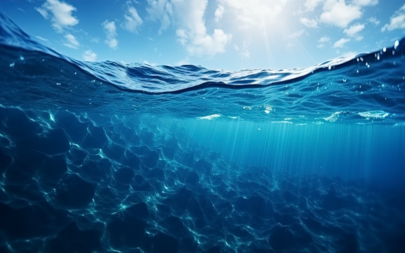
A wave of innovative oceanographic technologies has unlocked the mysteries of the deep blue sea, allowing scientists to examine the most pressing impacts of humans and climate on marine ecosystems. These observations and knowledge also help them better understand the effects of pollution, changes in currents and the behaviors of marine wildlife, as well as hidden and unexploited resources. Here are six incredible developments in the way we study the ocean.
1. Photorealistic 3D digital twins
In April 2024, Australia’s Great Barrier Reef (GBR) experienced unprecedented bleaching across 73% of the park surveyed – an event that scientists believe is a direct consequence of climate change. Yet the GBR retains economic, cultural and environmental value, including providing habitat for threatened marine species.
Researchers are now using artificial intelligence (AI) to create photorealistic 3D twins of reef sections in real time. Photogrammetry produces the renderings, which are processed in a supercomputer. Scientists can then use AI modeling to determine how climate change affects reef structure, enabling better decision-making in restoration approaches.
2. Underwater acoustic monitoring
Marine noise pollution has increased significantly due to shipping, military sonars, energy exploration and other human activities. Noise has adverse effects on species, including hearing loss, acute stress, migrations, and disruptions in communication, reproduction, feeding, and lactation.
Acoustic monitoring is a critical innovation in oceanographic technology that helps scientists learn more about marine populations. For example, the Ocean Observatories Initiative uses hydrophones to study the calls of fin whales. The most common call lasts for one second at 20 hertz, which tells researchers about their migration and communication patterns.
Oceanographers can use acoustic monitoring equipment attached to a submarine’s hull at depths greater than 180 meters or about 590 feet. Acoustic equipment allows researchers to better study marine life.
3. Animal telemetry
Animal telemetry involves tagging marine wildlife with electronic tracking sensors to shed light on species’ interactions with the ocean. This provides insight into how climate change and pollution affects sharks, turtles, whales, seals and other animals.
The data collected directly informs government agencies and conservation scientists about changing marine environments and species behaviors, leading to important regulatory changes. These policy frameworks could prevent overfishing or provide better protections in areas of high concern.
4. Autonomous underwater robots driven by AI
The ocean floor is dark and vast. In fact, the Mariana Trench in the Pacific is approximately 35,875 feet deep, making it the deepest part of the sea. At these depths, 91% of marine species remain unknown, but they offer insight valuable insight into Earth’s geological transformations, its evolution, complex food chains and how life adapts to extreme conditions.
The latest autonomous underwater robots are now equipped with AI technology and can withstand harsh environments, such as extreme temperatures, high pressures and toxic underwater gases. For example, scientists recently deployed an AI-driven underwater robot off the coast of Santorini. The equipment studied the submerged Kolumbo volcano, sampling marine organisms otherwise too dangerous for divers to reach.
5. Surface buoys
Surface buoys with GPS beacons are not a new oceanographic technology. They have long been used to study ocean currents and sea level rise. The more precise the measurements, the more likely scientists are to predict the weather, determine the extent of oil spills and pollution, and to monitor the transfer of energy from the ocean.
To improve accuracy, researchers at the Massachusetts Institute of Technology incorporated machine learning. Newer models are relatively easy to deploy and provide more concise forecasts and identification of ocean currents.
Oceanographers can use data from buoys to monitor carbon, plastics, oil and biomass, such as sargassum algae. Currently, the coasts of the Caribbean, Gulf of Mexico and Florida are choked with Sargassum blooms, which could have disastrous effects on marine ecosystems, wildlife and public health.
The National Oceanic and Atmospheric Administration also monitors several buoys across the ocean. A buoy, Peggy, has been measuring sea temperature, salt content, nutrients and currents in the Bering Sea since 1995. Scientists use this data to assess sea ice loss.
Fifty other buoys are deployed around the world to study ocean acidification in the world’s coral reefs, coastal ecosystems and open waters. These buoys provide details on carbon dioxide concentrations in these regions.
6. Satellite oceanography
Satellite imagery is crucial for oceanography because it allows the remote aerial study of ocean changes. Scientists can use this data to monitor coral reef health, oil spills, sea surface temperature changes and harmful algae blooms.
About 200 of the 5,000 marine phytoplankton are toxic to natural and human systems. Spanish explorers in the 1500s described algae blooms as “red water,” while many sailors died after consuming infected seafood. Considering that 3.3 billion people worldwide consume fish as an essential source of protein, algae blooms are harming many people.
Satellite detection shows a global algal bloom expansion of 3.97 million square kilometers between 2003 and 2020. There was also a median of 4.3 blooms per year over two decades.
Ocean technology sheds light on ocean health
Cutting-edge innovations in oceanography have enabled more in-depth studies of the damage caused to the ocean by humans and nature and its potential consequences. As technology advances and integrates with AI and machine learning, scientists can create a clearer approach to improving marine health.


Leave a Comment